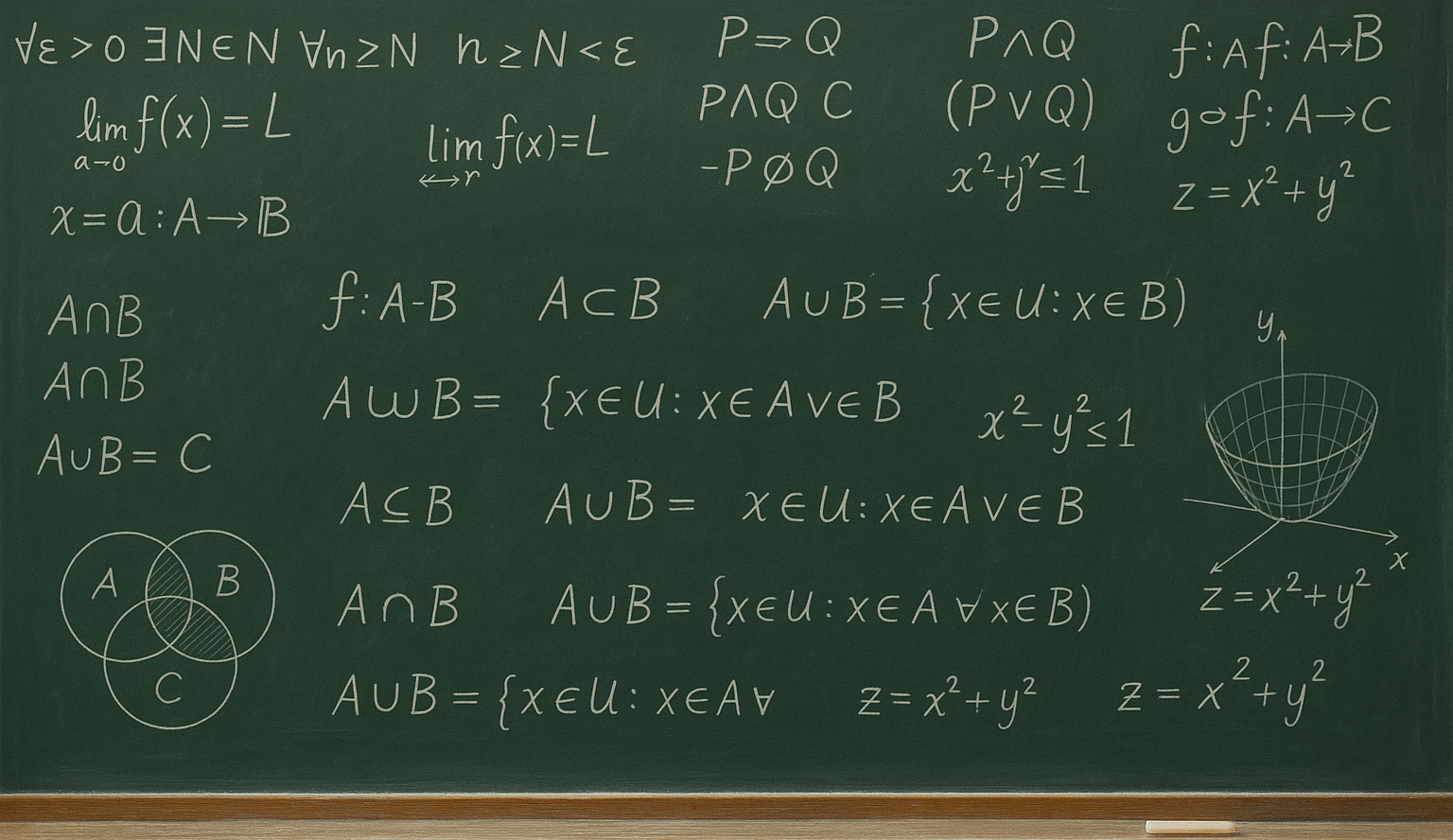
The course introduces students to the basics of mathematical logic and symbolic language. It focuses on working with statements, types...
The program aims to familiarize participants with the following topics: Definitions and concepts of geographic information systems (GIS), basic GIS concepts, data structures, acquisition and organization of spatial data, basics of spatial analysis, visualization of spatial data, overview of GIS products, new trends in GIS.
The course aims to familiarize students with the following topics: Definitions and concepts of geographic information systems (GIS), basic GIS concepts, data structures, acquisition and organization of spatial data, fundamentals of spatial analysis, visualization of spatial data, overview of GIS products, new trends in GIS.
No prior knowledge of GIS is required.
Faculty of Applied Sciences
KGM/UGI
From November 2025
Summer semester 2025/2026
Lecture – Room EP 130
Wednesday 12:05 – 12:50
FEL Building, Bory Campus
Exercise – Room UC 234
Wednesday 13:55 – 15:35
FAV Building, Bory Campus
18. 2. 2026 – 13. 5. 2026
Contact teaching: 39 hours
Preparation for the comprehensive test: 15 hours
Preparation of a seminar paper in the bachelor’s study program: 25 hours
Preparation for the exam: 25 hours
Univerzitní 22, Pilsen
AFTER COMPLETING THIS COURSE, YOU CAN APPLY FOR A MICROCERTIFICATE.
For more information about micro-certificates, click HERE.
After completing all the required subjects, please fill out the application for a micro-certificate.

The course introduces students to the basics of mathematical logic and symbolic language. It focuses on working with statements, types...