Introduction to GIS
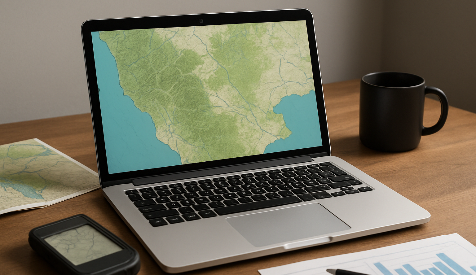
The course introduces students to the basics of geographic information systems (GIS), spatial data, their analysis, and visualization. It also includes an overview of GIS tools and current trends in the field.
The course introduces students to the basics of geographic information systems (GIS), spatial data, their analysis, and visualization. It also includes an overview of GIS tools and current trends in the field.

Discover new approaches to teaching regional geography – from working with modern tools to creating your own model lessons that combine theory with practice.

Modern tools and resources in geography teaching – make it easier for students to understand topics through effective didactic transformation.